Loading...
Alberta Land Surveyor products

Calgary ASCM Cadastral Ties Dataset
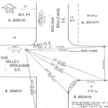
FreeDuring the 1960’s to 1980’s, The City of Calgary surveyed cadastral ties (CADTIES) between thousands of Alberta Survey Control Markers (ASCM) and nearby legal survey monuments and other reference points. These Calgary ASCM CADTIES were surveyed under the supervision of an Alberta Land Surveyor and the information was recorded on sketches referenced to the old Alberta Survey Control (ASC) numbering system. ASCM tablet marking were usually the same as the ASC number. The Calgary ASCM CADTIES dataset includes 193 PDF files containing approximately 8000 sketches. The information has not been maintained or updated for many years.

High Precision Network Map
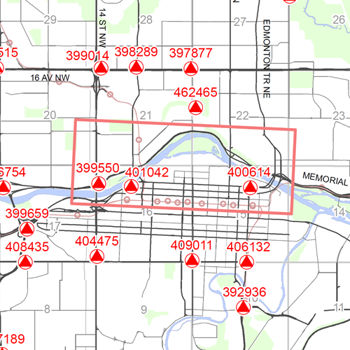
FreeThe High Precision Network (HPN) is the primary survey control network necessary for development, surveying and mapping in Calgary and is a subset of the Alberta Survey Control Marker (ASCM) network.

Legal Survey Fabric (LSF) by Section - AutoCAD
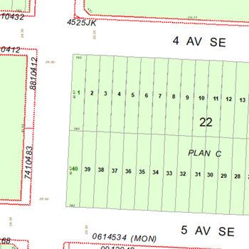
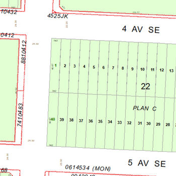
FreeThe Legal Survey Fabric Product outlines tentative, preliminary, and registered plans within the city. Its contents include: Registered Plan Number & Shape, Block Numbers & Linework, Lot Numbers & Linework, Legal Dimensions & Street Names, and Easements/URW.

Legal Survey Fabric (LSF) by Section - Microstation
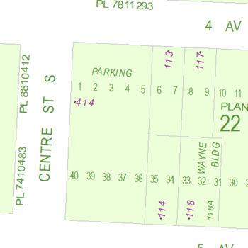
FreeThe Legal Survey Fabric Product outlines tentative, preliminary, and registered plans within the city. Its contents include: Registered Plan Number & Shape, Block Numbers & Linework, Lot Numbers & Linework, Legal Dimensions & Street Names, and Easements/URW.

Legal Survey Fabric (LSF) by Section - Shapefile
FreeThe Legal Survey Fabric Product outlines tentative, preliminary, and registered plans within the city. Its contents include: Registered Plan Number & Shape, Block Numbers & Linework, Lot Numbers & Linework, Legal Dimensions & Street Names, and Easements/URW.

Ownership Parcel Fabric (OPF) by Section - AutoCAD
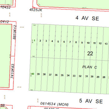
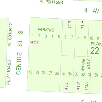
FreeThe Ownership Parcel Fabric Files are like LSF files but with the additional depiction of the private ownership of parcels and graphically outlined boundaries indicated with municipal addresses. Utility right of ways, legal dimensions and lot lines are not included from the LSF files.

Ownership Parcel Fabric (OPF) by Section - Microstation
FreeThe Ownership Parcel Fabric Files are like LSF files but with the additional depiction of the private ownership of parcels and graphically outlined boundaries indicated with municipal addresses. Utility right of ways, legal dimensions and lot lines are not included from the LSF files.

Ownership Parcel Fabric (OPF) by Section - Shapefile
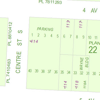
FreeThe Ownership Parcel Fabric Files are like LSF files but with the additional depiction of the private ownership of parcels and graphically outlined boundaries indicated with municipal addresses. Utility right of ways, legal dimensions and lot lines are not included from the LSF files.

Stormwater Management Reports and Sanitary Servicing Studies
FreeStormwater Management Reports and Sanitary Servicing Studies are divided into 4 types: 1. Subdivision Stormwater Management Reports: Describe the operation of the stormwater management system for individual phases of a subdivision. 2. Capital Stormwater Management Reports: Describe the operation of the stormwater management system for projects initiated by the City of Calgary. They summarize the performance of the overland drainage system. 3. Private Site Stormwater Management Reports: Describe the operation of the stormwater management system for parcels of land that are privately owned or are operated by City of Calgary Business Units other than Water Services. 4. Staged Master Drainage Plans: Provide the direction for the future detailed of the drainage system within a subdivision or community.


